1 -How to download study areas boundary
1 -gadm41 DEU shp.zip
2 -How to define reference system(coordinate system)
3 -How to create elevation raw raster
3 -astgtmv003 n53e013 dem.zip
4 -How to create slope raw raster
5 -Rainfall(1.video)
5 -cru ts4.zip
6 -Rainfall (2.video)Precipication raw raster
7 -How to download Global Soil data SWAT Database
7 -Soil.rar
8 -33U 20230101-20240101.rar
8 -How to download LULC tif and how to prepare LULC raw raster
9 -Geomorphology.rar
9 -How to create Geomorphology raw raster
10 -Hydrology Analysis
11 -How to create drainage density raw raster
12 -How to create Linemant Density raw raster
13 -How to create NDVI raw rasterHow to download Landsat 9 (Band 4 and Band5)
13 -Landsat 9.rar
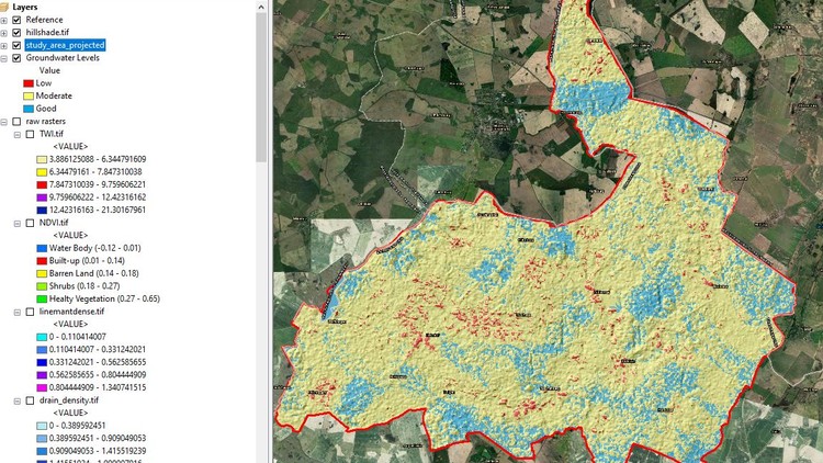
14 -How to create TWI raw raster
15 -How to create distance to streams raw raster