وب سایت تخصصی شرکت فرین
دسته بندی دوره ها

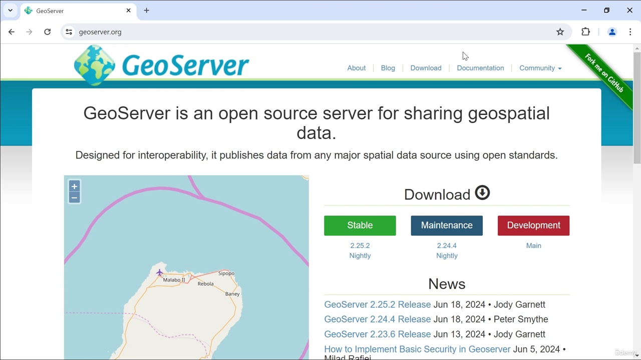
GeoServer Master Spatial Data & Open Source GIS Tools

سرفصل های دوره

1 - Course Introduction
  • 1 -Introduction

  • 2 - GeoServer Introduction
  • 1 -What is GeoServer and its historical background
  • 2 -GeoServer Installation and Configuration
  • 3 -Detailed overview of Web Interface

  • 3 - Data Management
  • 1 -Shapefiles-What they are and how to upload
  • 1 -boundary.rar
  • 2 -Understanding Layer concept and configuration
  • 3 -Understanding GeoPackage and how to upload
  • 3 -example.zip
  • 4 -PostgreSQL and PostGIS-Connecting and uploading data
  • 5 -Concept and creation of LayerGroup
  • 6 -Raster Data
  • 7 -Understanding ArcGrid and how to upload
  • 8 -Understanding GeoTiff and how to upload
  • 8 -geotiff.rar
  • 9 -Other Rater Stores

  • 4 - Styling
  • 1 -Understanding Style and how to style Line data
  • 2 -Styling Polygon data
  • 3 -Styling Point data
  • 4 -Raster SLD

  • 5 - GeoServer Services
  • 1 -WMS (Web Map Service)
  • 2 -WFS (Web Feature Service)
  • 3 -WCS (Web Coverage Service)

  • 6 - GeoServer Integration with other GIS Software
  • 1 -Understanding QGIS and connect to GeoServer
  • 2 -How to connect GeoServer data to Leaflet
  • 2 -connectingGeoserverToLeaflet.rar

  • 7 - Plugins and Extension
  • 1 -Plugins and Extension

  • 8 - Course Recap
  • 1 -Recap

  • 9 - Assessment
  • 1 -Assessment
  • 139,000 تومان
    بیش از یک محصول به صورت دانلودی میخواهید؟ محصول را به سبد خرید اضافه کنید.
    خرید دانلودی فوری

    در این روش نیاز به افزودن محصول به سبد خرید و تکمیل اطلاعات نیست و شما پس از وارد کردن ایمیل خود و طی کردن مراحل پرداخت لینک های دریافت محصولات را در ایمیل خود دریافت خواهید کرد.

    ایمیل شما:
    تولید کننده:
    شناسه: 44620
    حجم: 1745 مگابایت
    مدت زمان: 268 دقیقه
    تاریخ انتشار: ۲۵ اردیبهشت ۱۴۰۴
    طراحی سایت و خدمات سئو

    139,000 تومان
    افزودن به سبد خرید