وب سایت تخصصی شرکت فرین
دسته بندی دوره ها

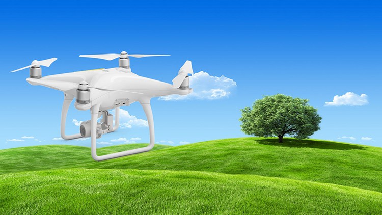
The Precise Topography by UAS – photogrammetry master class

سرفصل های دوره

Practical examples and all pinomangione experience to achieve immediately a precise topography using UAS


1 - What we can achieve
  • 1 - Lets get to know each other and lets get started right away
  • 2 - What can be done with photogrammetry by UAS
  • 3 - What will you get by following the course
  • 4 - Examples of completed works
  • 5 - IMMAGINA CLOUD software for free
  • 5 - Software IMMAGINA CLOUD free.txt
  • 6 - Lets define precisely whats about
  • 7 - Definizioni-en.pdf
  • 7 - Use my learning method and you wont forget anything
  • 8 - Lets briefly summarize what you will get and learning method

  • 2 - UAS and recommended equipment
  • 9 - UAS and equipment
  • 10 - Problems to avoid in choosing equipment
  • 11 - Quale DRONE UAS scegliere
  • 12 - The importance of camera quality
  • 13 - Lets summarize the UAS and the recommended equipment

  • 3 - The photogrammetric plates GCP Ground Control Points
  • 14 - Problems on photogrammetric plates
  • 15 - What are photogrammetric plates GCP
  • 16 - Where and how many plates
  • 17 - to detect the photogrammetric plates
  • 18 - The solutions for photogrammetric plates

  • 4 - The techniques to be applied to plan the flight
  • 19 - The flight mission
  • 20 - Photogrammetric pair and swipe
  • 21 - Nadiral flight
  • 22 - Flight with tilted camera
  • 23 - Circular flight
  • 24 - A che altezza volare
  • 25 - Before and after the flight
  • 26 - Practice-procedure-topographic-survey-with-UAS-ing.pdf
  • 26 - flight solutions

  • 5 - Disturbing elements
  • 27 - Problems on disturbing elements
  • 28 - What are the disturbing elements
  • 29 - How to have optimal photos
  • 30 - Solutions on disturbing elements

  • 6 - How photogrammetric restitution works
  • 31 - The photogrammetric post processing
  • 32 - Characteristic points
  • 33 - Internal orientation
  • 34 - Distortion in detection
  • 35 - External orientation
  • 36 - Known points and return
  • 37 - Solutions on photogrammetric restitution

  • 7 - Papers for the customer
  • 38 - What we will share and the problems on the papers
  • 39 - Technical documents required
  • 40 - Obtaining the DTM Digital Terrain Model
  • 41 - How to amaze the customer with products they dont expect
  • 42 - s summarize the solutions on the elaborates

  • 8 - The IMMAGINA software for the precise topography from UAS
  • 43 - Immagina Software
  • 44 - Practical demo of a complete work with the IMMAGINA software
  • 45 - Download and taste the IMMAGINA by TOPOPROGRAM software now
  • 45 - Software IMMAGINA trial.txt

  • 9 - hat to do starting tomorrow to capitalize on what has been shared
  • 46 - What to do from tomorrow
  • 47 - Where to start
  • 48 - Why use a UAS today
  • 48 - check-list-en.pdf
  • 49 - Closure
  • 139,000 تومان
    بیش از یک محصول به صورت دانلودی میخواهید؟ محصول را به سبد خرید اضافه کنید.
    خرید دانلودی فوری

    در این روش نیاز به افزودن محصول به سبد خرید و تکمیل اطلاعات نیست و شما پس از وارد کردن ایمیل خود و طی کردن مراحل پرداخت لینک های دریافت محصولات را در ایمیل خود دریافت خواهید کرد.

    ایمیل شما:
    تولید کننده:
    مدرس:
    شناسه: 21801
    حجم: 2992 مگابایت
    مدت زمان: 505 دقیقه
    تاریخ انتشار: 8 آبان 1402
    طراحی سایت و خدمات سئو

    139,000 تومان
    افزودن به سبد خرید