وب سایت تخصصی شرکت فرین
دسته بندی دوره ها

Flooding Risk Assessment with Hec-Ras, Hec-HMS, QGIS

سرفصل های دوره

Using Open source softwares freely availabe to develop a Methodology to conduct a Flooding Risk Assessment


1 - Introduction
  • 1 - Presentation
  • 2 - Technical background
  • 3 - Outlines of the course.html

  • 2 - Data Preparation
  • 4 - Doc-Courses.docx
  • 4 - Downloading the open source software
  • 5 - 02-Data-Preparation
  • 5 - Data Preparation in QGIS
  • 5 - How-to-Add-Google-Satellite-Imagery-and-Google-Maps-to-QGIS.docx
  • 6 - Projection and Spatial reference coordinates systems

  • 3 - Data Processing
  • 7 - Creation of a new Ras Terrain
  • 8 - Streamline creation with HecHMS
  • 9 - Perimeter Delineation
  • 10 - Refining Region

  • 4 - Calibration
  • 11 - Land use Land cover
  • 12 - About Calibration
  • 13 - Mannings n value Roughness coefficients

  • 5 - How to create a Rain on Grid model
  • 14 - Rain on Grid
  • 15 - Analysis of the Rain on Grid Results
  • 16 - Courant Number
  • 17 - Rain On Grid update with BC Line
  • 18 - ROG results analysis update

  • 6 - Flow Hydrograph
  • 19 - Creation of a New geometry for a Flow Hydrograph study
  • 20 - Terrain Modification
  • 21 - Flow Hydrograph analysis

  • 7 - Some Practical Application
  • 22 - Creation of a Dam Bypass Channel and houses using Terrain modification Tools
  • 23 - Visualisation of the results
  • 24 - 3 D Visualisation of the results
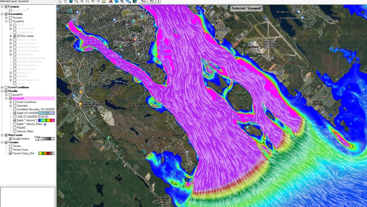
  • 25 - Tsunami Hazard Big wave Modelling using HecRas
  • 139,000 تومان
    بیش از یک محصول به صورت دانلودی میخواهید؟ محصول را به سبد خرید اضافه کنید.
    خرید دانلودی فوری

    در این روش نیاز به افزودن محصول به سبد خرید و تکمیل اطلاعات نیست و شما پس از وارد کردن ایمیل خود و طی کردن مراحل پرداخت لینک های دریافت محصولات را در ایمیل خود دریافت خواهید کرد.

    ایمیل شما:
    تولید کننده:
    مدرس:
    شناسه: 43231
    حجم: 9096 مگابایت
    مدت زمان: 438 دقیقه
    تاریخ انتشار: ۶ بهمن ۱۴۰۳
    طراحی سایت و خدمات سئو

    139,000 تومان
    افزودن به سبد خرید