1. Introduction
2. Geospatial Stacks
3. Geospatial Datasets
4. What we will build
5.1 httpsland.copernicus.euimagery-in-situeu-demeu-dem-v1.1.html
5. Download Datasets
6. Inspecting Raster Datasets
7. Correction for last lesson.html
8.1 Code used in lesson.html
8.2 Conda environments.html
8.3 httpschrieke.medium.comhowto-install-python-for-geospatial-applications-1dbc82433c05.html
8. Checking GeoTiFF Status
9. Directory Structure (Important).html
10.1 Code for lecture (Generate COGS).html
10.2 Code For Lecture (Validate).html
10.3 httpsgdal.orgdriversrastergtiff.html.html
10.4 httpsgdal.orgprogramsgdal translate.html#gdal-translate.html
10.5 httpsgdal.orgprogramsgdalbuildvrt.html.html
10.6 httpsgdal.orgprogramsgdalwarp.html.html
10. Generating Cloud Optimized GeoTIFFS (COGS)
11. Storing Processed data on S3
12. Moving to the Cloud (Instructions).html
13.1 layers and env.zip
13. Setting up GeoLambda
14.1 httpsdocs.aws.amazon.comIAMlatestUserGuideaccess policies.html.html
14.2 httpsdocs.aws.amazon.comlambdalatestdglambda-intro-execution-role.html.html
14.3 httpspcjericks.github.iopy-gdalogr-cookbookraster layers.html#get-raster-band-information.html
14. Testing Lambda Function
15.1 httplearningzone.rspsoc.org.ukindex.phpLearning-MaterialsIntroduction-to-OGC-Standards3.1-Web-Map-Services-WMS.html
15.2 httpsdocs.qgis.org3.16endocsserver manualservices.html#getmap.html
15. Understanding Requests
16. Important Note for next lesson.html
17.1 udemy course lamba.zip
17. On-demand Processing using GDAL
18.1 httpsdocs.aws.amazon.comapigatewaylatestdeveloperguideapi-gateway-create-api-from-example.html.html
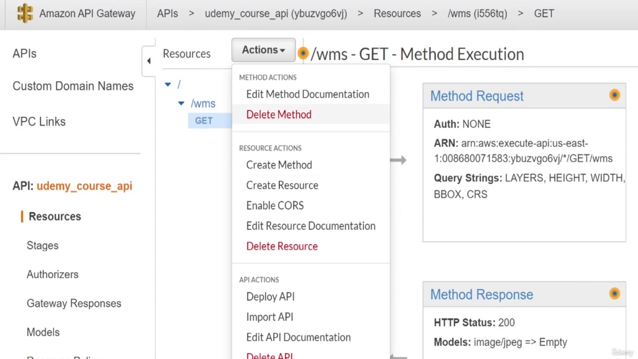
18. Setting up API using API Gateway
19.1 test query params.zip
19. Testing API with API Gateway
20. Deploy Rest API
21.1 index.html
21. Visualizing Output in Browser (Client Side Geo JS)
22. Review & More Preprocessing Options.html
23. Final Thoughts.html

